Find a tectonic plate
Start with a plate name, then follow its complete perimeter. Many plate outlines extend far beyond the continent or island group used in their name.
Choose a named plate and compare its full outline with its neighbouring regions.
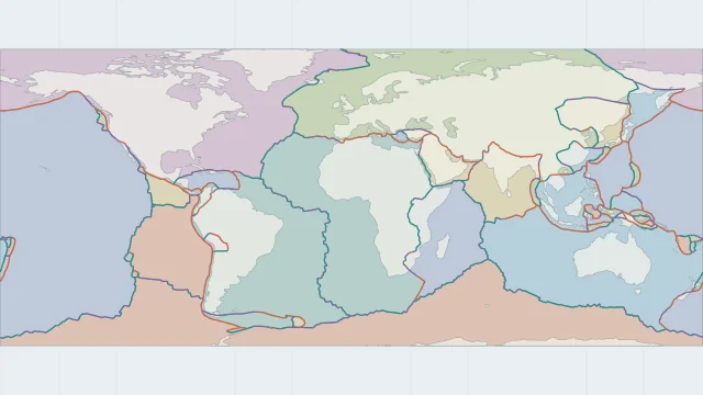
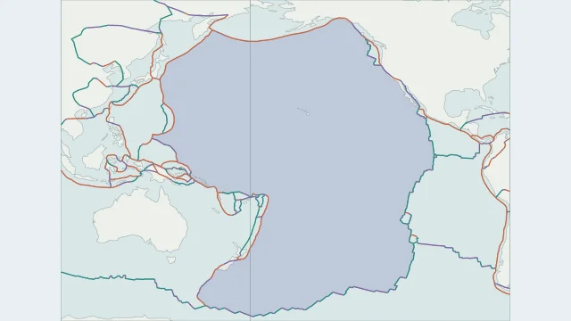
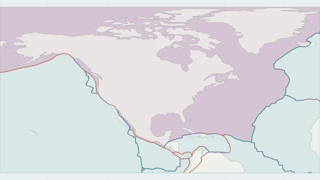
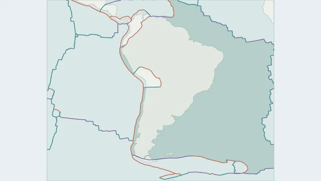
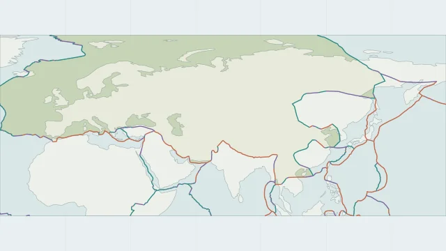
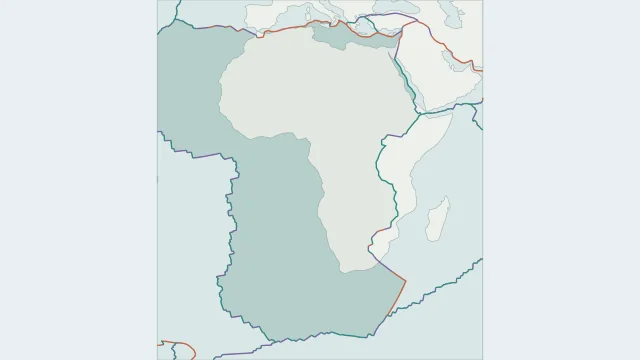
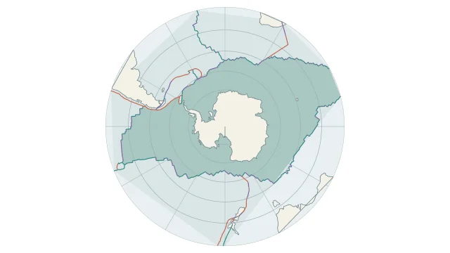
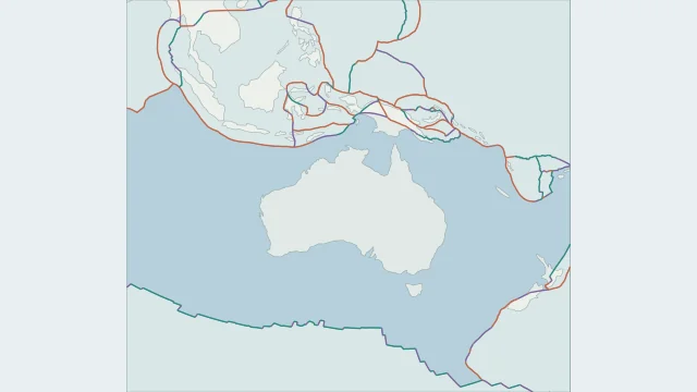
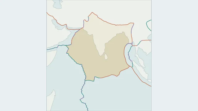
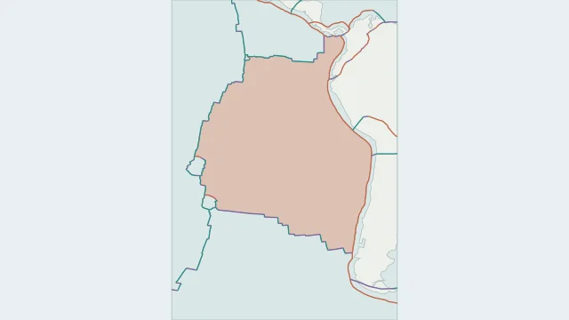
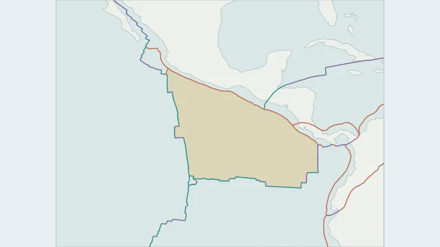
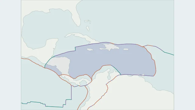
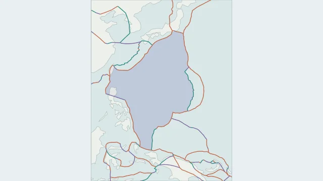
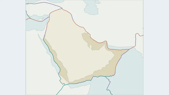
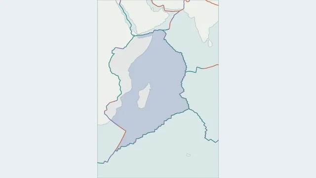
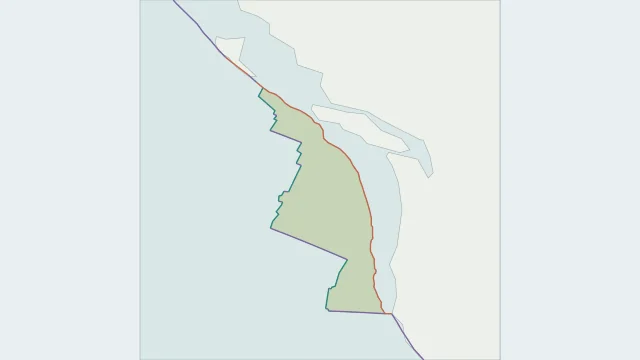
Start with a plate name, then follow its complete perimeter. Many plate outlines extend far beyond the continent or island group used in their name.
Large plates are convenient landmarks, while smaller regions explain much of the detail around island arcs and collision zones. Plate area and earthquake frequency are different measurements.
PB2002 divides the surface into 52 plate regions. Classroom maps often combine several regions, while more detailed research models may separate additional blocks or deformation zones.
Plate outlines use Peter Bird's PB2002 model, distributed by Nordpil under the Open Data Commons Attribution licence. Coastlines and country outlines are Natural Earth public-domain data. Boundary detail is limited by the source model.
Country lookup compares simplified land outlines with the plate model. Boundaries and historical coastlines are modelled features. This atlas explains geography; it does not predict earthquakes or provide site-specific hazard estimates.