The plate beyond Antarctica
Antarctica occupies only part of its plate. Much of the plate is ocean floor extending toward the neighbouring Pacific, Australian, African and South American regions.
Trace the Antarctic Plate beyond the continent into the surrounding Southern Ocean.
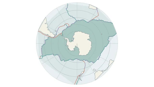
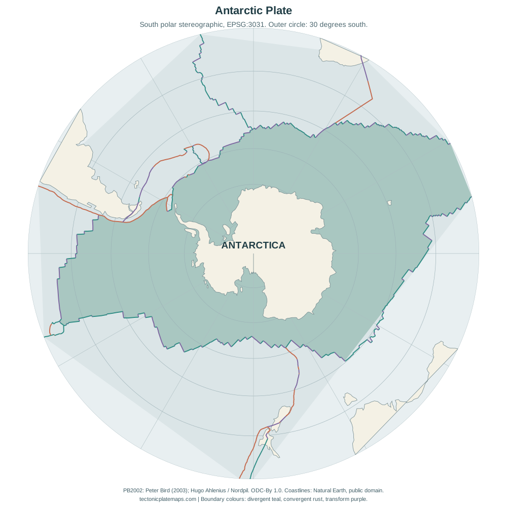
Antarctica occupies only part of its plate. Much of the plate is ocean floor extending toward the neighbouring Pacific, Australian, African and South American regions.
Spreading ridges form much of the surrounding boundary network. Near the Antarctic Peninsula, the Scotia region adds smaller plates and a more complicated margin.
All longitudes meet at the South Pole. A flat world map stretches polar geography, so apparent shape and distance near Antarctica need careful interpretation.
Plate outlines use Peter Bird's PB2002 model, distributed by Nordpil under the Open Data Commons Attribution licence. Coastlines and country outlines are Natural Earth public-domain data. Boundary detail is limited by the source model.
Country lookup compares simplified land outlines with the plate model. Boundaries and historical coastlines are modelled features. This atlas explains geography; it does not predict earthquakes or provide site-specific hazard estimates.