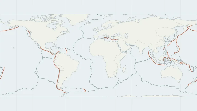
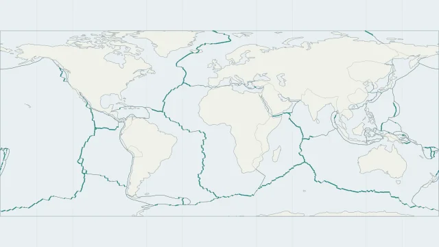
Find the three boundary types
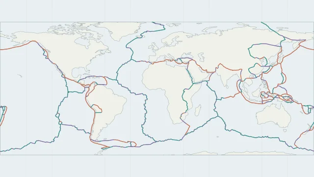
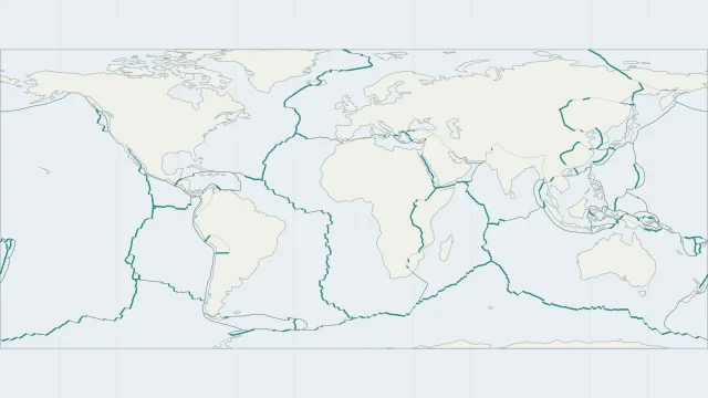
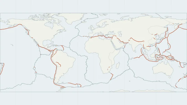
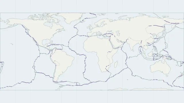
Divergent boundaries pull apart, convergent boundaries bring plates together, and transform boundaries accommodate sideways motion. The classification describes movement across a boundary, not the shape of the nearest coastline.
Where boundary types meet
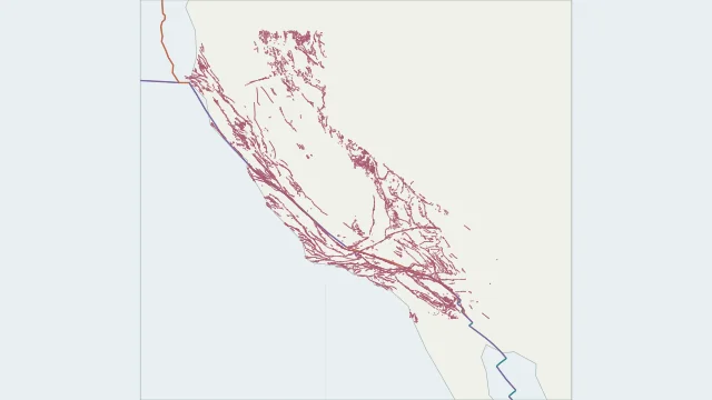
A plate edge can change type along its length. Ridge segments connect through transforms, and junctions bring three plate regions together. A broad deformation zone may contain several active faults.
Read a boundary on the map
Begin with a named example, then follow its neighbouring segments. A world-scale line simplifies a wider geological structure and is unsuitable for locating an individual fault on a street map.
Sources and map method
Plate outlines use Peter Bird's PB2002 model, distributed by Nordpil under the Open Data Commons Attribution licence. Coastlines and country outlines are Natural Earth public-domain data. Boundary detail is limited by the source model.
Country lookup compares simplified land outlines with the plate model. Boundaries and historical coastlines are modelled features. This atlas explains geography; it does not predict earthquakes or provide site-specific hazard estimates.