Choose a region
Japan, Iceland, California and East Africa highlight different settings: subduction, spreading, fault systems and continental rifting. Start with the process or location you want to understand.
Choose a region to connect world-scale plate outlines with local geological features.
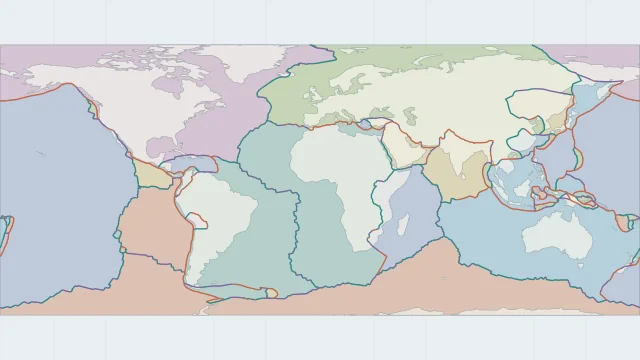
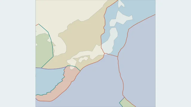
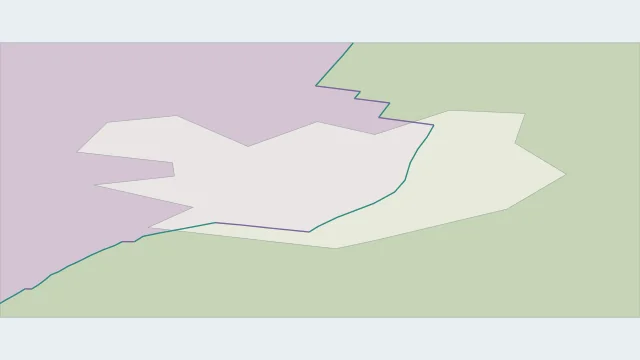
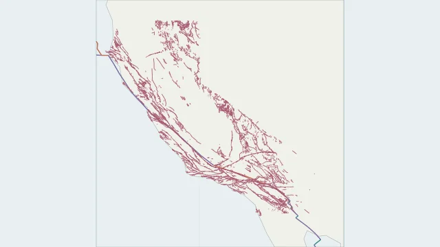
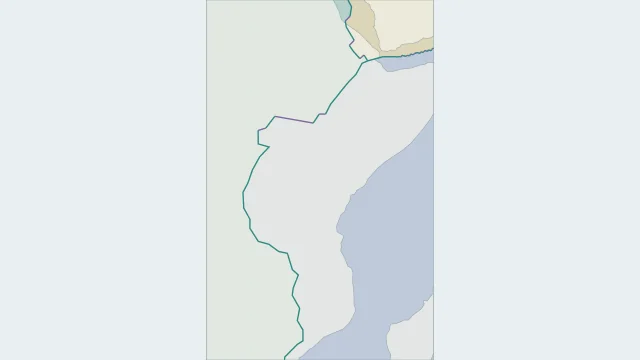
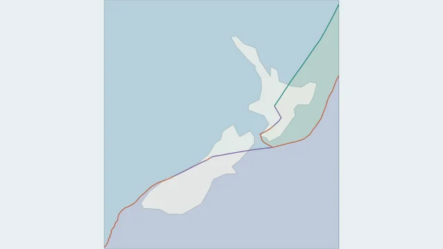
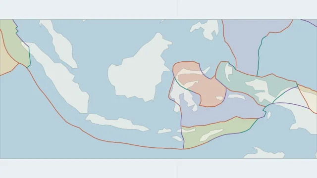
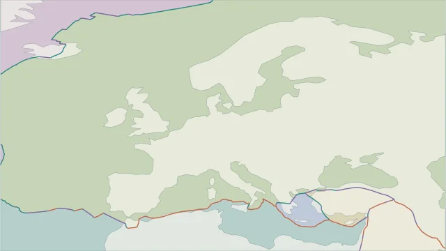
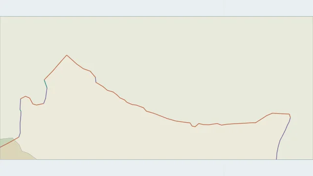
Japan, Iceland, California and East Africa highlight different settings: subduction, spreading, fault systems and continental rifting. Start with the process or location you want to understand.
New Zealand changes boundary style along its length, while the Himalayas show continental collision. Regional comparisons reveal details that become compressed on a global map.
Plate outlines, fault traces, earthquake points and volcano locations answer different questions. Check the legend and source coverage before treating two layers as equivalent.
Plate outlines use Peter Bird's PB2002 model, distributed by Nordpil under the Open Data Commons Attribution licence. Coastlines and country outlines are Natural Earth public-domain data. Boundary detail is limited by the source model.
Country lookup compares simplified land outlines with the plate model. Boundaries and historical coastlines are modelled features. This atlas explains geography; it does not predict earthquakes or provide site-specific hazard estimates.