Eastern and western rift branches
The rift divides into eastern and western branches through East Africa. Long lake basins, volcanic areas and faulted highlands mark different parts of the system.
Follow the branching rift system that separates the Nubian and Somali plate regions.
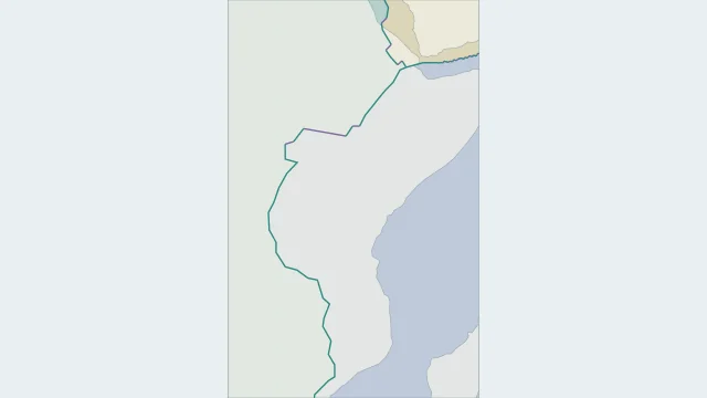
The rift divides into eastern and western branches through East Africa. Long lake basins, volcanic areas and faulted highlands mark different parts of the system.
The Nubian region lies mainly west of the rift and the Somali region to the east. Afar connects this system with the Red Sea and Gulf of Aden near Arabia.
Continental rifting stretches crust across a wide zone. Fault blocks drop and tilt, basins form, and some areas experience volcanism; the entire rift is not a continuous open fissure.
Plate outlines use Peter Bird's PB2002 model, distributed by Nordpil under the Open Data Commons Attribution licence. Coastlines and country outlines are Natural Earth public-domain data. Boundary detail is limited by the source model. Terrain uses the Natural Earth I shaded-relief raster, public domain. Its global scale does not resolve individual faults or local elevation.
Country lookup compares simplified land outlines with the plate model. Boundaries and historical coastlines are modelled features. This atlas explains geography; it does not predict earthquakes or provide site-specific hazard estimates.