The India-Eurasia collision
India converges with Eurasia and underthrusts the Himalayan region. Continental crust shortens and thickens, building relief while movement continues on major thrust faults.
Locate the India-Eurasia collision and compare the Himalayan front with the wider deformation zone.
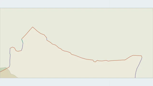
India converges with Eurasia and underthrusts the Himalayan region. Continental crust shortens and thickens, building relief while movement continues on major thrust faults.
The high Himalayas and Tibetan Plateau form different parts of the collision system. Deformation extends well beyond one line at the mountain front.
A boundary trace is a surface summary. A cross-section shows how India extends beneath the mountains, while earthquake locations help locate active structures at depth.
Plate outlines use Peter Bird's PB2002 model, distributed by Nordpil under the Open Data Commons Attribution licence. Coastlines and country outlines are Natural Earth public-domain data. Boundary detail is limited by the source model. Terrain uses the Natural Earth I shaded-relief raster, public domain. Its global scale does not resolve individual faults or local elevation.
Country lookup compares simplified land outlines with the plate model. Boundaries and historical coastlines are modelled features. This atlas explains geography; it does not predict earthquakes or provide site-specific hazard estimates.