Where the plates meet in Iceland
Iceland sits on the Mid-Atlantic plate boundary. The North American and Eurasian plates separate across a zone of deformation rather than along one narrow island-wide crack.
Follow Iceland's rift zones between the North American and Eurasian plates.
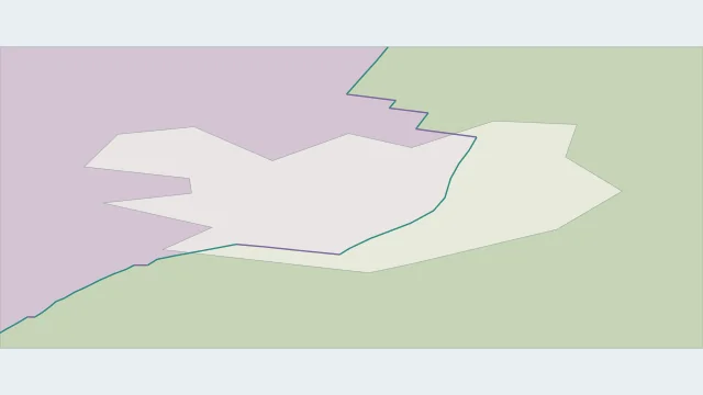
Iceland sits on the Mid-Atlantic plate boundary. The North American and Eurasian plates separate across a zone of deformation rather than along one narrow island-wide crack.
Rifting is distributed among the Reykjanes Peninsula and western, eastern and northern volcanic zones. Transform zones link portions of this segmented system.
The Reykjanes Ridge approaches from the southwest and the Kolbeinsey Ridge continues to the north. Iceland lets parts of an otherwise submarine spreading system be studied on land.
Plate outlines use Peter Bird's PB2002 model, distributed by Nordpil under the Open Data Commons Attribution licence. Coastlines and country outlines are Natural Earth public-domain data. Boundary detail is limited by the source model. Terrain uses the Natural Earth I shaded-relief raster, public domain. Its global scale does not resolve individual faults or local elevation.
Country lookup compares simplified land outlines with the plate model. Boundaries and historical coastlines are modelled features. This atlas explains geography; it does not predict earthquakes or provide site-specific hazard estimates.